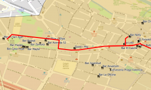
Geospatial CRFS web services
Allows cities’ CRFS information can be published in OGC standardized services and cartography. This will allow the generation of maps with different visualizations (heat maps, clusters, filtering by categories) to obtain a spatial vision of the distribution and relevance of locations or points of interest.

0 topics in this forum
There are no topics in this forum yet
